Instant Identification
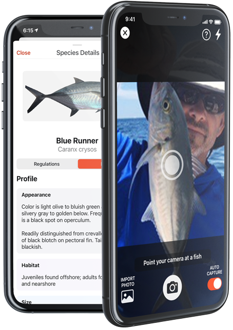
Import Photos or Live Scan. FishVerify uses the latest in AI to identify your catch.
Rules & Regulations
Learn local Saltwater and Freshwater regulations as well as other helpful facts.
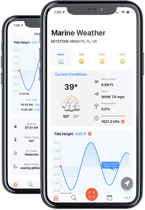
Marine Weather
Current marine weather including wind, waves, tides, air & water temp, barometric pressure and more.
Catch Log & Catch Map
FishVerify automatically charts the GPS location of your catch as well as marine weather.
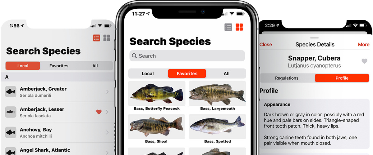
Search local fish species in your area
A must-have reference tool to identify local marine life, understand the complex and ever-changing rules and regulations and learn about marine habitats at a fraction of the cost as compared to most bulky charts and maps.
Regulations made simple
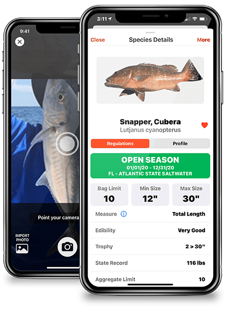
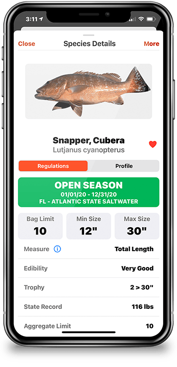
Quickly learn if your catch is in season, how many you can keep, the size limit, edibility, and much more.
Bag Limit
View daily bag & possession limits of your catch in the waters you're fishing.
Size Limit
Know the slot limits and which species must be returned to the water unharmed.
State Record
Learn the latest recorded state record for each species caught in your state.
Season
At a glance, know state and federal seasonal closures and current status.
Measure
Learn how to get the proper fish length which most fishing regulations are based on.
Edibility
Quickly learn which fish to eat... and which fish to avoid.
Not sure which fish you caught?
FishVerify uses state-of-the-art image recognition and artificial intelligence to instantly identify your fish species.
Just take a picture with your phones camera or upload an existing image to enjoy species identification within seconds.
176
Freshwater Species
325
Saltwater Species
Log catches like the professionals
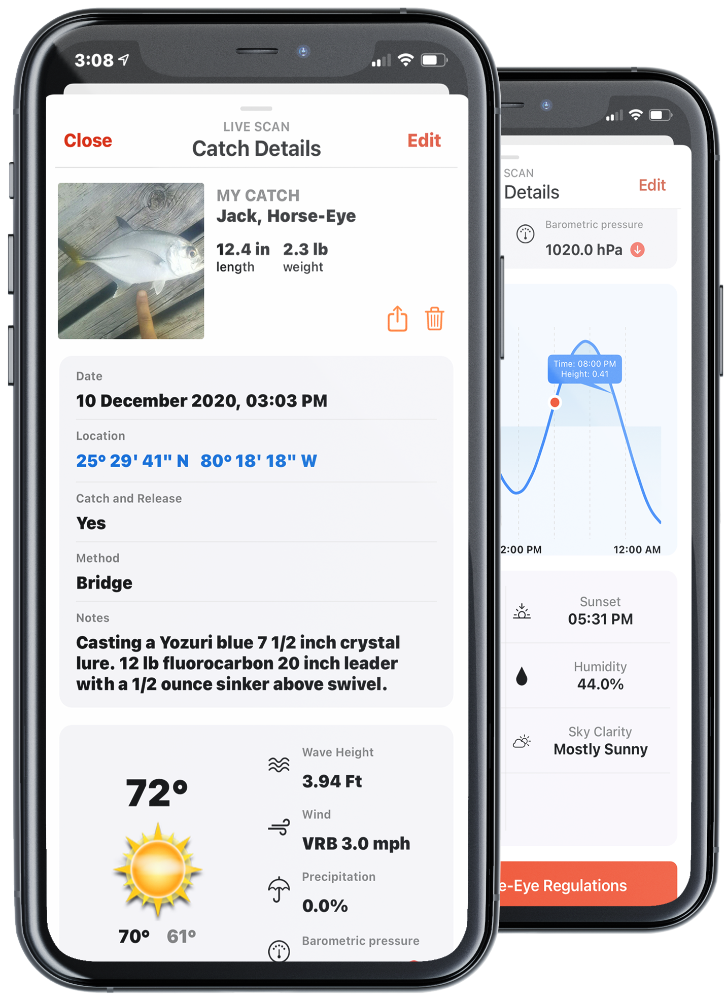
FishVerify creates a catch log and captures the GPS coordinates of each catch so you can return to the same location over and over again.
Environmental data automatically recorded
The app will also capture and record current weather and water conditions including wind, air temperature, moon phase, barometric pressure, cloud coverage, water temperature, wave height, sunrise & sunset.
Easy to share your trophy catches
Save and share catches with your fishing buddies or on social media.
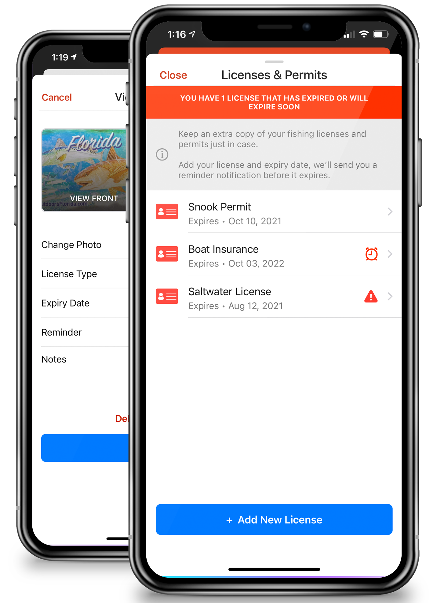
Keep and display your fishing license digitally
The FishVerify app makes it easy to securely store your fishing licenses, permits, boat insurance and more. Receive expiration notifications, and have all important information at your fingertips.
